news
Brussels Built Its Transport System Through Decades of Planning Choices
The city's mobility patterns reflect layers of planning choices made across multiple decades rather than any single recent decision.
How we reported this
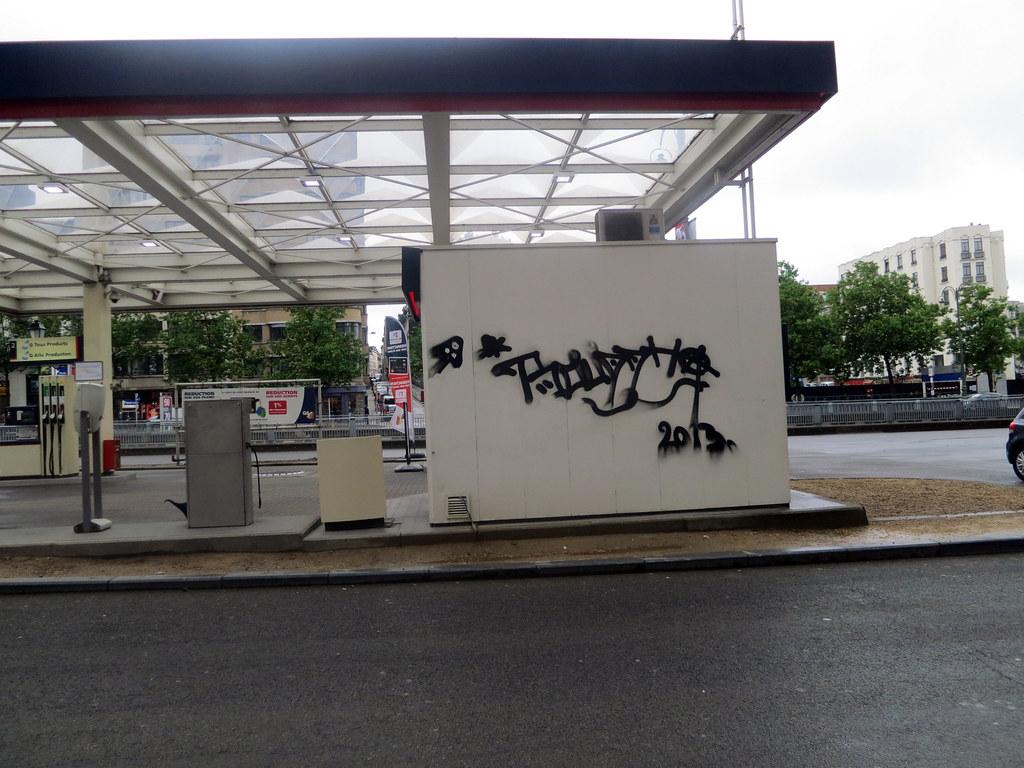
Brussels transport networks operate today under constraints that trace directly to choices about road capacity, public transit funding and land use rules stretching back through successive city administrations.
Policy layers built over time
Early emphasis on accommodating private vehicles gave way to later priorities on expanding rail and tram links, yet the physical layout of many arterial routes still reflects the earlier focus on throughput. Neighbourhoods developed around major junctions continue to funnel traffic through the same corridors because subsequent plans did not alter the underlying street grid. Funding cycles for maintenance and upgrades have therefore concentrated on managing volumes rather than redesigning the overall system.
Regional coordination between the Brussels-Capital Region and surrounding Flemish and Walloon authorities added another set of constraints, as differing investment timetables produced uneven service frequencies on cross-border lines. Residents relying on daily commutes have adapted by combining modes, a pattern that emerged gradually as individual projects were completed at different paces.
Why the accumulated record matters
The present situation affects how quickly people move between employment centres and residential areas, as well as how air quality and noise levels are experienced along heavily used routes. Because the infrastructure stock was assembled incrementally, small adjustments now require coordination across multiple agencies that each inherited portions of the original plans.
Qualitative assessments by local planning bodies indicate that congestion hotspots align with locations where road widening occurred decades ago without corresponding increases in parallel transit capacity. These patterns persist because replacement or reconfiguration projects face long approval sequences tied to the same multi-level governance structure.
Observers note that further incremental measures, such as adjusted signal timing or targeted lane reallocations, remain the most immediate options under current rules. Residents can consult the regional mobility agency websites for updates on scheduled works and service changes that affect specific routes.